



















Truck Stuck for 10 Hours After Following Google Maps in Sleman Village

Thumbnail Image

The information displayed in the AIM should not be reported as representing the official views of the OECD or of its member countries.

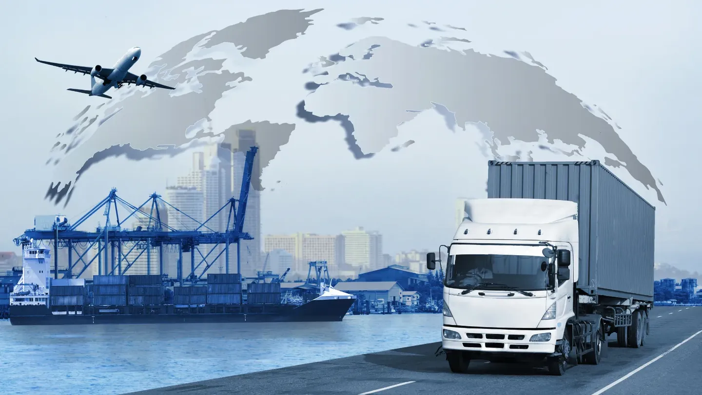
A container truck driven by Agus Riyanto became stuck for 10 hours on a narrow village road in Sleman, Yogyakarta, after following Google Maps navigation. The incident caused significant disruption to local traffic and required police and community assistance to resolve, highlighting risks from AI-based navigation systems.[AI generated]

Why's our monitor labelling this an incident or hazard?

Google Maps is an AI system providing navigation guidance. The truck driver relied on it, leading to the truck getting stuck in a narrow road, causing operational disruption and community inconvenience. This is a direct consequence of the AI system's use. Although the harm is not severe (no injury or property damage reported), the disruption to operation and community qualifies as harm under the framework. Hence, this event is an AI Incident due to indirect harm caused by AI system use.[AI generated]
AI principles
SafetyRobustness & digital securityTransparency & explainabilityAccountabilityDemocracy & human autonomy

Industries
Mobility and autonomous vehiclesLogistics, wholesale, and retail

Affected stakeholders
WorkersGeneral publicGovernment

Harm types
Economic/PropertyPublic interestReputational

Business function:
Logistics

AI system task:
Goal-driven organisationReasoning with knowledge structures/planningForecasting/prediction


Articles about this incident or hazard