


























The information displayed in the AIM should not be reported as representing the official views of the OECD or of its member countries.
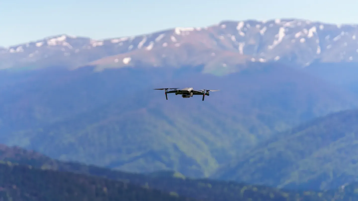
Hezbollah used drones guided by Google Maps and GPS to target the British RAF base at Akrotiri, Cyprus. The attack, which struck a hangar near American U2 spy planes, demonstrates how AI-powered navigation and publicly available satellite imagery enabled precise targeting, resulting in harm to military infrastructure.[AI generated]
Why's our monitor labelling this an incident or hazard?
The attackers used drones, which are AI systems capable of autonomous or semi-autonomous navigation and targeting, guided by Google Maps, an AI-powered mapping system. The drones were used to carry out an attack on a military base, causing harm to property and posing security risks. This direct use of AI systems in an attack causing harm fits the definition of an AI Incident.[AI generated]