


These tools and metrics are designed to help AI actors develop and use trustworthy AI systems and applications that respect human rights and are fair, transparent, explainable, robust, secure and safe.
Pano - Actionable Intelligence for Wildfire Management
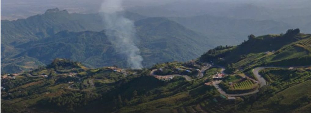
Pano - Actionable Intelligence for Wildfire Management is an advanced, connected platform designed for fire professionals, enabling them to detect threats, verify fires, and share critical information with response teams faster than ever before.
By equipping detection specialists with cutting-edge visual technology and rapid data processing powered by artificial intelligence, Pano - Actionable Intelligence for Wildfire Management can significantly reduce the response time in the face of wilfires. It provides a unified operational view, integrating ultra-high-definition panoramic cameras, geostationary satellite data, emergency alerts, and various real-time data feeds. This tools' integration enables swift identification and containment of potentially catastrophic wildfires—helping to safeguard lives, property, and natural landscapes.
It leverages 360-degree ultra-high-definition cameras combined with AI which are elevated vantage points and continuously monitor the terrain. These camera enabled stations are capable of detecting, analysing, and alerting to wildfire activity within a 10-mile radius.
Using deep learning and computer vision, Pano’s intelligent software automatically detects, verifies, and classifies wildfire incidents in real time. The platform allows fire monitoring teams to view and assess alerts instantly, with built-in communication tools ensuring that vital information is shared with on-the-ground teams. When a potential hazard is identified, which can be done via camera, satellite, or another source, Pano immediately notifies fire professionals, providing auto-centred, high-resolution imagery with enhanced zoom to support fast verification and pinpointing the fire’s location. Once a fire is confirmed, Pano promotes communication, enabling professionals to share accurate, real-time updates with extended teams. With mobile alerts and real-time access to time-lapse imagery and fire movement data, first responders are better equipped to act quickly, confidently, and effectively.
About the tool
You can click on the links to see the associated tools
Tool type(s):
Objective(s):
Purpose(s):
Target sector(s):
Country/Territory of origin:
Type of approach:
Maturity:
Usage rights:
Target groups:
Geographical scope:
Tags:
- computer science
- geospatial information systems
- natural disasters
Use Cases
Would you like to submit a use case for this tool?
If you have used this tool, we would love to know more about your experience.
Add use case


 Partnership on AI