























Name in original language
Satelitski sistem za detekciju vodoleži primenom veštačke inteligencije
Initiative overview
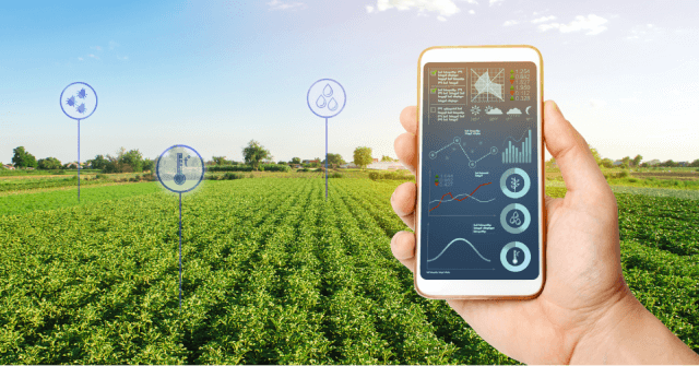
The initiative addresses the growing challenges caused by excess water and waterlogging in agricultural areas of Vojvodina, which often lead to crop losses, inefficient water management and increased operational costs for public institutions. Developed for the public water management authority JP “Vode Vojvodine”, the solution introduces satellite monitoring and artificial intelligence to support faster detection, mapping and analysis of waterlogged areas.
By replacing manual field monitoring with continuous digital observation, the initiative leverages the opportunity to modernise melioration system management and improve climate resilience. The main objective of the initiative is to enable more efficient management of drainage infrastructure through accurate and timely information. The system provides historical waterlogging maps, regional intensity analysis and an AI-based risk map that helps prioritise maintenance of canal networks and melioration activities.
As a result, the public authority can better direct resources to high-risk locations, reduce unnecessary field visits and improve decision-making processes, ultimately protecting agricultural production and public investments. In the future, the initiative is expected to evolve from a project-based solution into a continuously used digital service integrated into institutional workflows.
Through the Space Garden platform, the system already provides ongoing access to satellite-derived insights, climate indicators and soil information, allowing long-term monitoring and planning. Further institutionalisation may include expansion to additional water management regions and integration with other environmental monitoring tools.
Results, outcomes and impacts
The initiative delivered a fully operational satellite-based AI system for JP “Vode Vojvodine”, including historical waterlogging maps (10 m resolution), regional intensity analysis and a Vojvodina-wide risk map. Results were measured through satellite data validation, comparison with historical precipitation records and field observations.
The system reduces the need for manual monitoring and supports faster decision-making in melioration management. In the future, it is expected to improve prevention planning, reduce agricultural losses and expand towards broader climate-risk monitoring for additional users such as insurers and financial institutions.